UN
5 Springbank
£ 103,000
Description
We don't have a Description for this property.
- Bedrooms
- 1
- Bathrooms
- 0
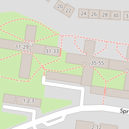
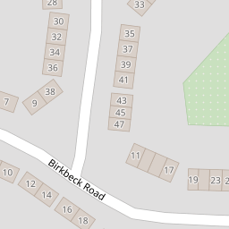
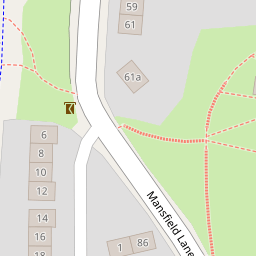
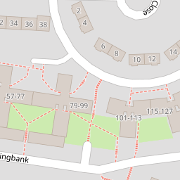

Leaflet © OpenStreetMap contributors
The heatmap indicates the level of crime in the area. The color of the heatmap indicates the crime severity and recency.
Metrics Year-on-Year
- Average area value
- 286,250.00 £Increased by 20.30 %
- Average area rental value
- 1,063.00 £/moIncreased by 3.30 %
- Est rental Yield
- 4.46 %Decreased by 14.07 %
- Crime Rate
- 14.00 %Unchanged by 0.00 %
from 237,951.00 £
from 1,029.00 £/mo
from 5.19 %
from 14.00 %
Nearby Schools
| Name | Type | Ofsted | Distance |
|---|---|---|---|
| East City And Framingham Earl Area Children'S Centre | Children's Centre | 0.38 KM | |
| Edith Cavell Academy And Nursery | Academy Sponsor Led | Good | 0.44 KM |
| Lakenham Primary School | Foundation School | Good | 0.56 KM |
| Norwich Steiner School | Other Independent School | Good | 0.62 KM |
| The Wherry School | Free Schools Special | 0.76 KM |
Images
Nearby Streets
| Name | Average Price | Average Sqft | Distance |
|---|---|---|---|
| Saint Johns Close | £ 0 | 0 | 0.00 KM |
| Mill Close | £ 155,000 | 0 | 0.00 KM |
| Kings Lane | £ 170,000 | 0 | 0.00 KM |
| Old School Court | £ 180,000 | 0 | 0.00 KM |
| Queens Road | £ 487,500 | 0 | 0.00 KM |
Nearby Transport
| Name | NLC | TLC | Distance |
|---|---|---|---|
| Norwich | 7309 | NRW | 2.00 KM |
Nearby Listings
| Address | Price | Type | Score | Distance |
|---|---|---|---|---|
| Springbank, Norwich | £ 110,000 | BUY | 5 / 10 | 0.01 KM |
| Springbank, Lakenham | £ 140,000 | BUY | 6 / 10 | 0.01 KM |
| Springbank, Norwich | £ 130,000 | BUY | 6 / 10 | 0.03 KM |
| Birkbeck Road, Lakenham, Norwich, Norfolk, NR1 | £ 180,000 | BUY | 5 / 10 | 0.07 KM |
| Birkbeck Road, Norwich | £ 250,000 | BUY | 6 / 10 | 0.09 KM |
Nearby Properties
| Address | Price | Distance |
|---|---|---|
| 5 Springbank | £ 103,000 | 0.00 KM |
| 41 Springbank | £ 112,000 | 0.00 KM |
| 45 Springbank | £ 113,000 | 0.00 KM |
| 99 Springbank | £ 25,000 | 0.00 KM |
| 113 Springbank | £ 102,000 | 0.00 KM |